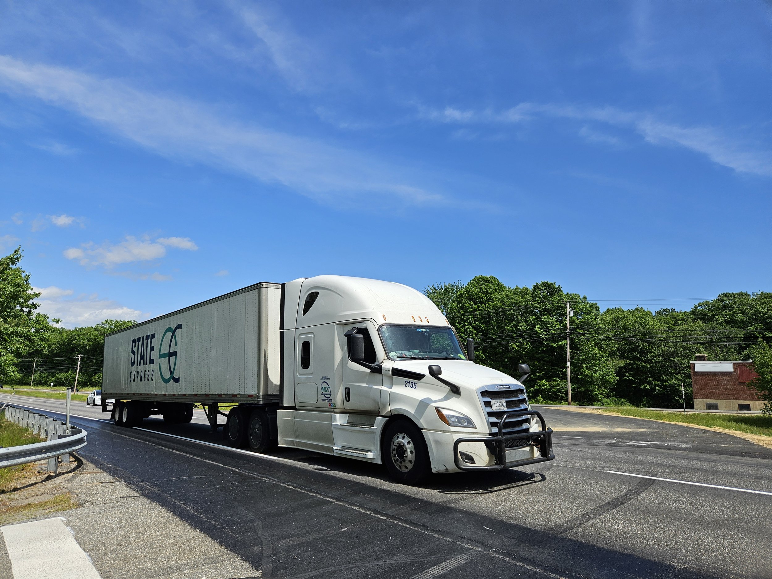
Auburn’s Washington Street corridor is a 4-lane separated highway that serves freight, through traffic, and local residents.
It allows for fast vehicle travel, but there are many safety and accessibility concerns. The corridor has many high crash locations, primarily caused by conflicts between local travelers and through traffic traveling at high speeds. There are no sidewalks or bike lanes, or any way to move safely without a car.
Washington Street divides the city: it’s a boundary that keeps the neighborhoods to the north, west, and east separate, and limits the use of the land along the corridor.
What if we reimagine Washington Street?
This project envisions a Washington Street transformed. Instead of a separated arterial highway, we can rebuild Washington Street as two distinct roads: a two-way mobility corridor on the Washington Street South side serving high-speed commercial and pass-through traffic, and a local street on the Washington Street North side with equal accommodation for cars, pedestrians, and bikes.
These new streets will improve safety and mobility, providing a place for through traffic on one side and a complete street designed for people on the other.
The new local Washington Street will open up opportunities for mixed-use residential and commercial development, and a new connection across the Little Andro has the potential to create a whole new neighborhood centered on the river: the Little Andro District.
About the Project
Washington Street Feasibility Study
The City of Auburn and the Androscoggin Transportation Resource Center (TRC) have contracted with Maine DOT and a team of engineers, landscape architects, and planners to study improvements to the Washington Street Corridor.
The primary purpose of this study is to improve safety and accessibility along the corridor, including adding pedestrian and bike accommodations, while maintaining or improving traffic mobility.
The study is assessing the feasibility of a reimagined Washington Street, with a two-way local street on the current Washington Street South, and a two-way arterial for commercial and through-traffic on the current Washington Street North.
The project is in the conceptual design phase, with early traffic calculations supporting that this is a workable solution.
Land Use Planning
Auburn is also working with a planning team to develop a long-term land use plan for the Washington Street Corridor. Centered on the new, local Washington Street and the Little Androscoggin River, this project is working on a master plan for mixed-use commercial and residential redevelopment along Washington Street and a potential connection across the river. This master plan envisions pedestrian- and bike-friendly streets, walkable neighborhoods, and new access to trails, open space, and the river. A new bridge across the Little Andro would create the potential for new neighborhood development near Broad Street.
This project will result in a vision for the new Washington Street Corridor, a conceptual plan for a new neighborhood across the Little Andro, and zoning framework and recommendations to help Auburn implement the plan.
Project Timeline
Fall 2024: Engineering and land use planning teams will develop concepts and analyze alternatives. Two public meetings will solicit input on the vision for the corridor, and the teams will connect with local landowners and stakeholders.
Winter 2024/2025: The project teams will present draft plans and recommendations to Maine DOT, Auburn, ATRC, and Auburn City Council for feedback. Based on public feedback, plans will be updated and revised.
Spring 2025: A draft report and master plan will be presented, with a second public meeting to get input. The final report and plan will be completed in April or May.
Questions? Comments? Anything you want to share? Contact us.

